GroundScope
The New Standard in Pre-Dig Verification
An Ongoing Problem
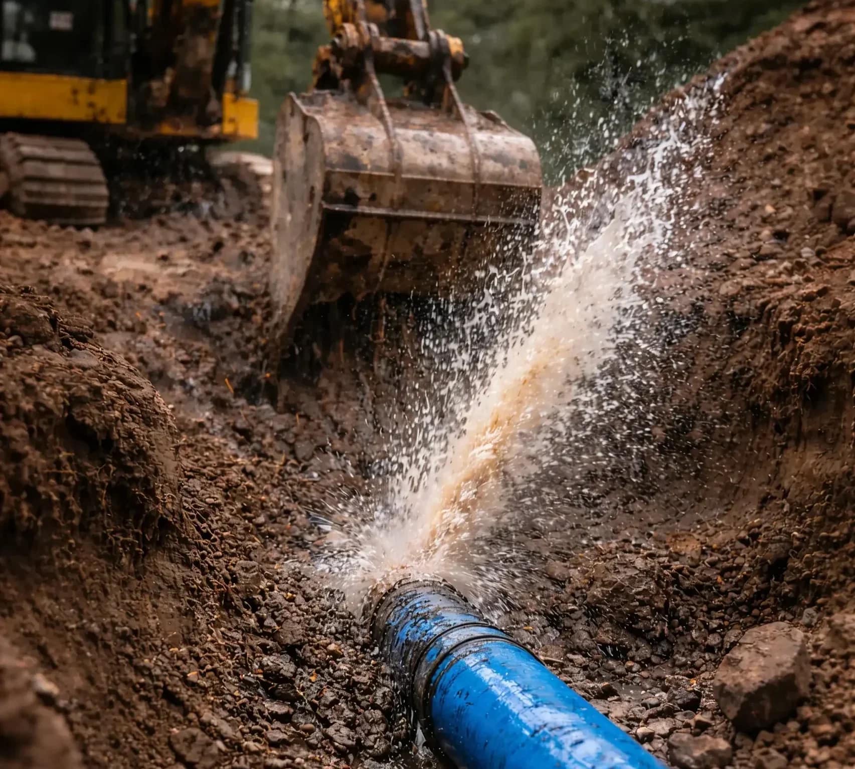
A Buried Utility Is Struck Every 6 Minutes
Even when the process is followed, these strikes still happen because nothing confirms what’s directly beneath the surface right when the bucket is about to start digging. That’s the gap.
GroundScope
The Final Pre-Dig Verification Step
GroundScope is an AI-powered subsurface verification tool that helps you detect and confirm utilities at the exact point of excavation.
It does not replace 811 or GPR. It works alongside them to provide certainty the moment before the bucket hits the dirt.
Why GroundScope
Built for Your Operations
Rapid Adoption
Train any crew member in minutes and deploy it across your entire operation, without losing days to specialized training.
No Certification Required
Stop waiting on specialists to interpret scans. GroundScope gives your team immediate, easy-to-understand answers directly on the jobsite.
Real-Time Feedback
Verify conditions right before digging instead of relying on markings alone. Get the "second set of eyes" needed to avoid utility strikes and eliminate costly rework.
Connected Intelligence
Automatically document every scan. Build a traceable record of your work, protecting your company from liability and costly rework.
How It Works
Scan. Verify. Dig.

Scan the Area
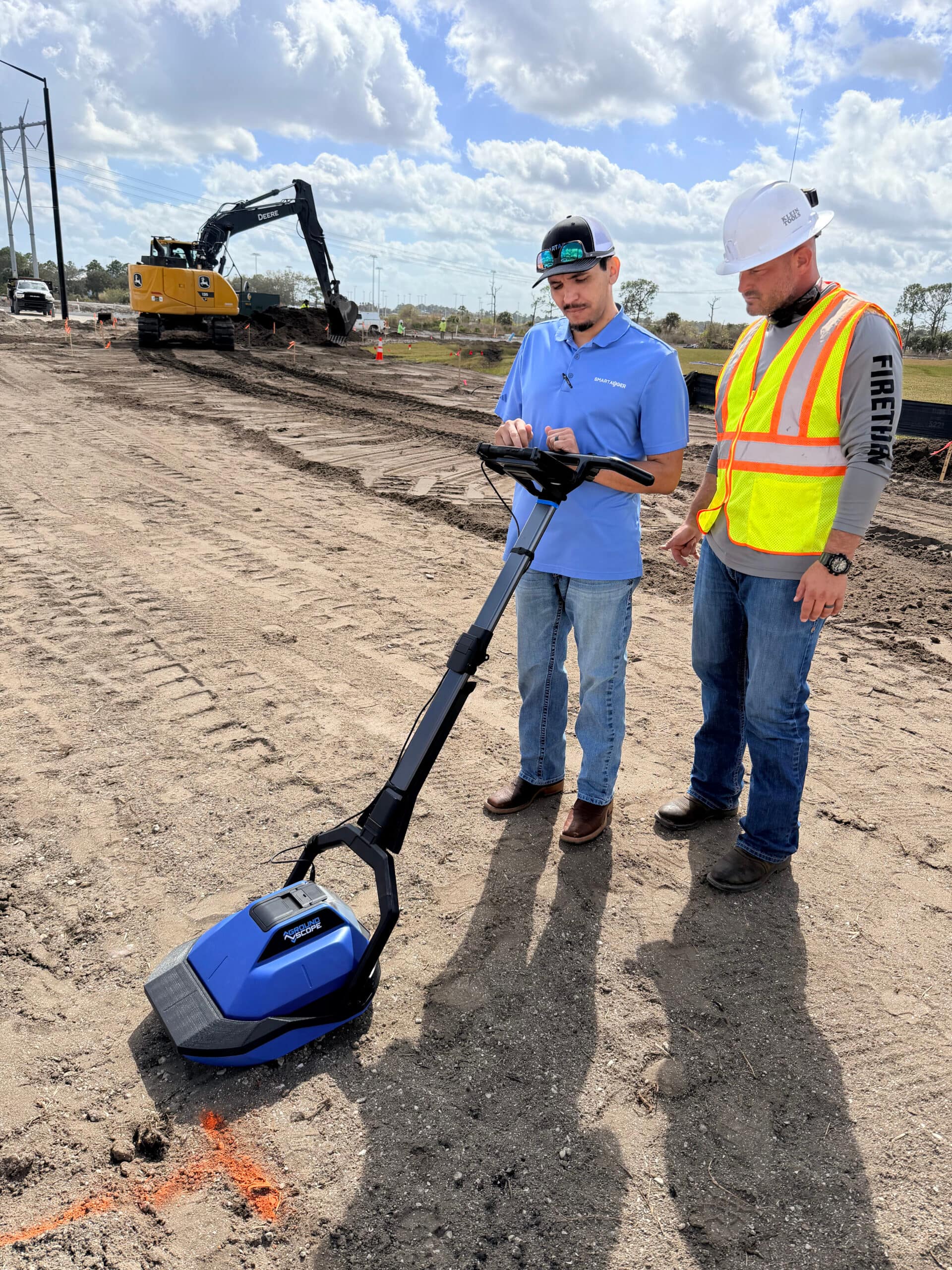
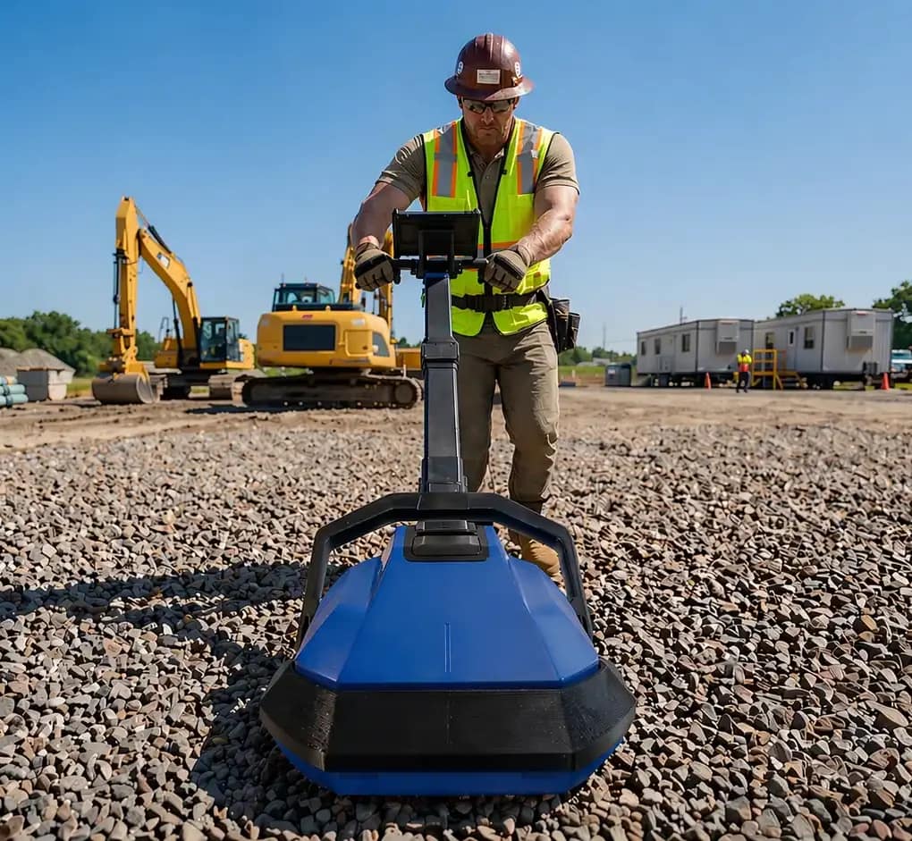
Move GroundScope across the intended scan zone at a recommended speed of one foot per second.
As the boat-hull sled glides over the terrain, the device captures subsurface conditions in real time directly where you plan to break ground.

Get Instant Results
The GroundScope system analyzes data in real time using AI-powered detection, processing approximately one foot every two seconds.
Clear feedback is displayed directly on the device, providing immediate results without the need for specialized training or complex interpretation.

Mark & Dig With Confidence
Use the on-site results to mark areas of concern and guide your excavation planning.
Every scan is automatically GPS-tagged and synced to the Utility Risk Cloud, creating a traceable record of your due diligence before the bucket hits the dirt.
Features
Designed for the Reality of the Field
Utility Detection
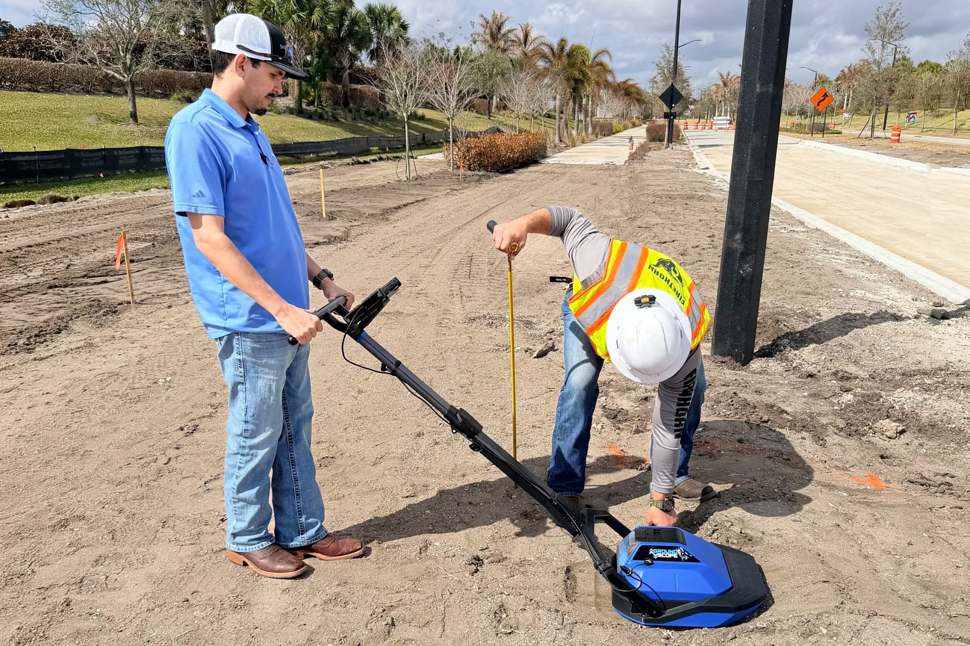
Effortlessly identify buried pipes, wires, and irrigation lines.
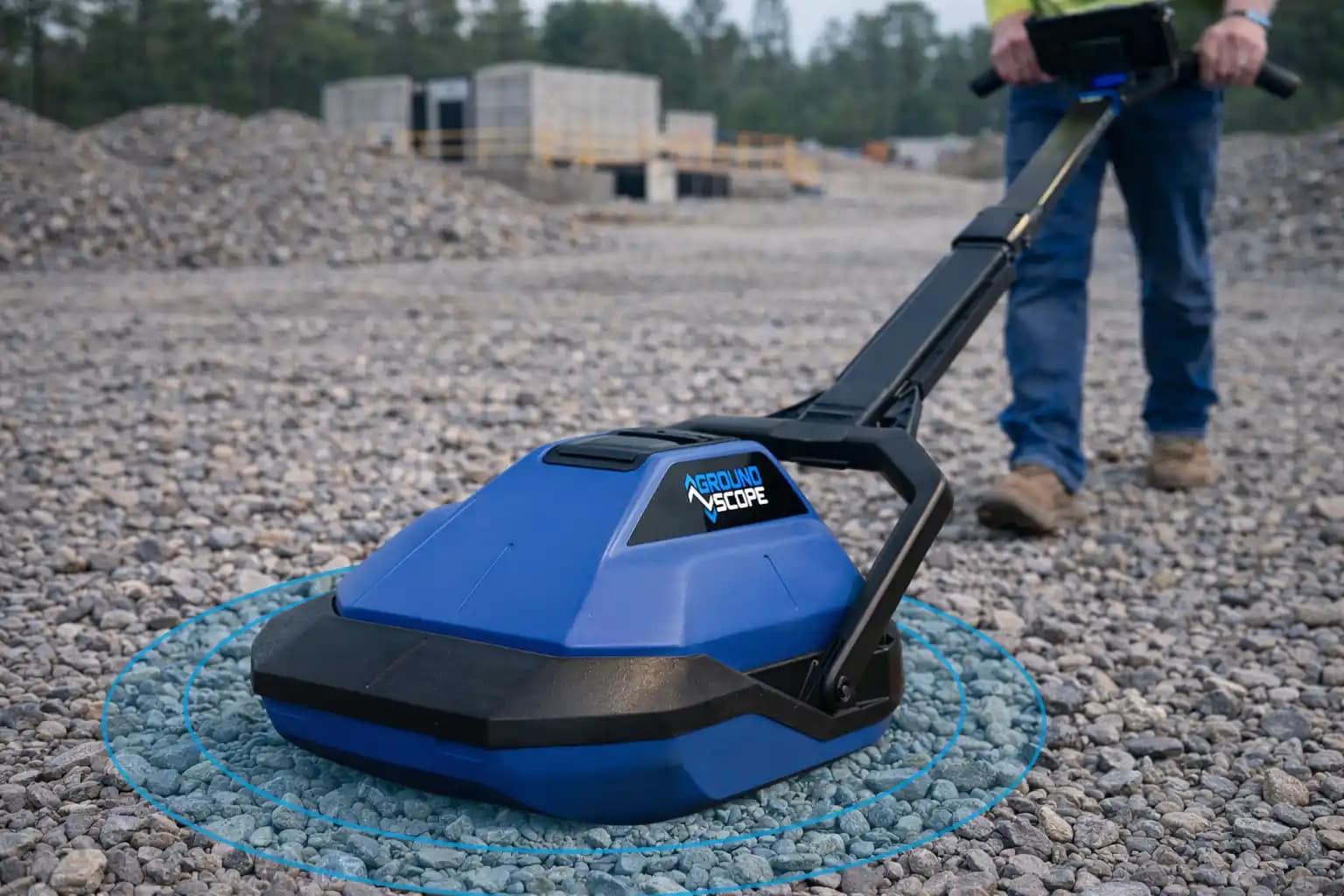
Smooth Scanning Across Any Terrain
Boat-hull sled design glides across dirt, gravel, and uneven surfaces.
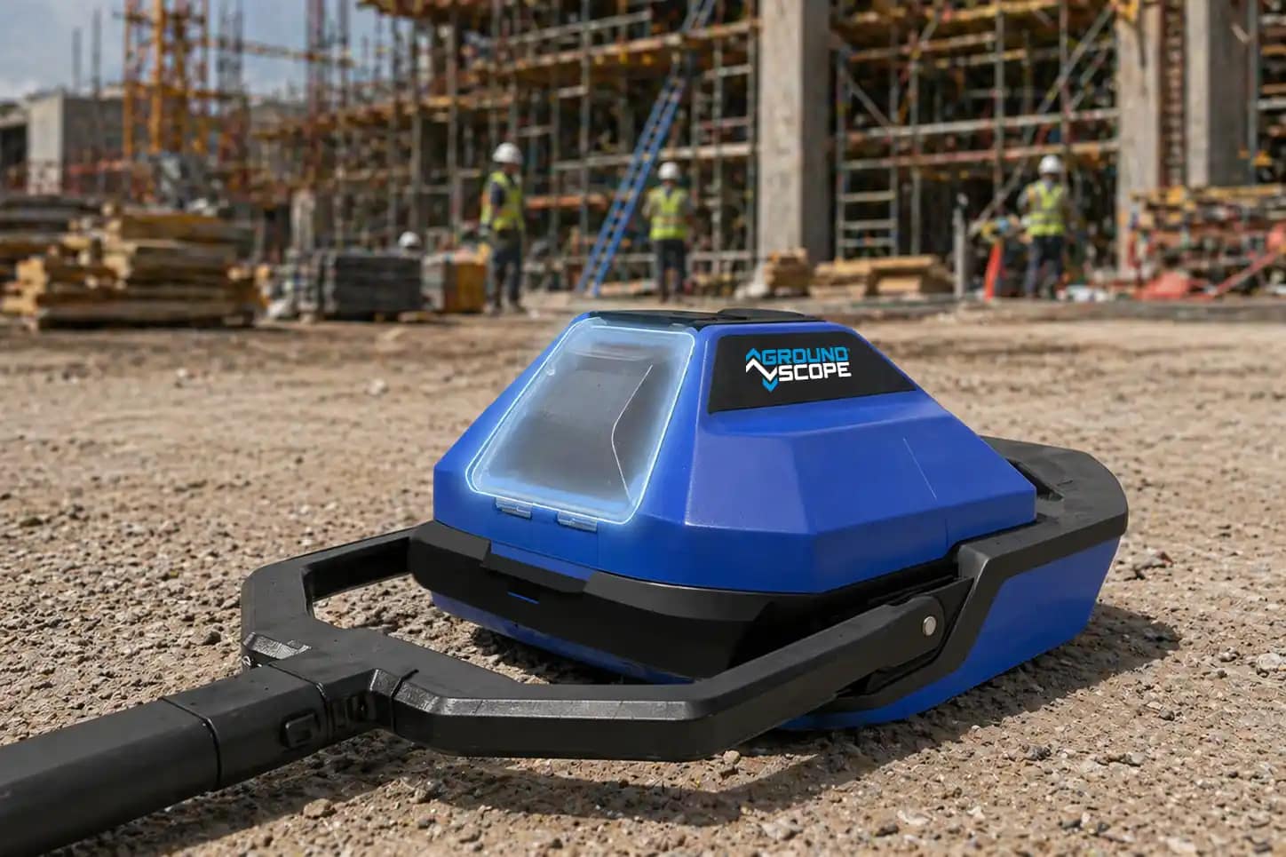
Rugged Reliability
IP65-rated components protect against dust, water, and jobsite environments.
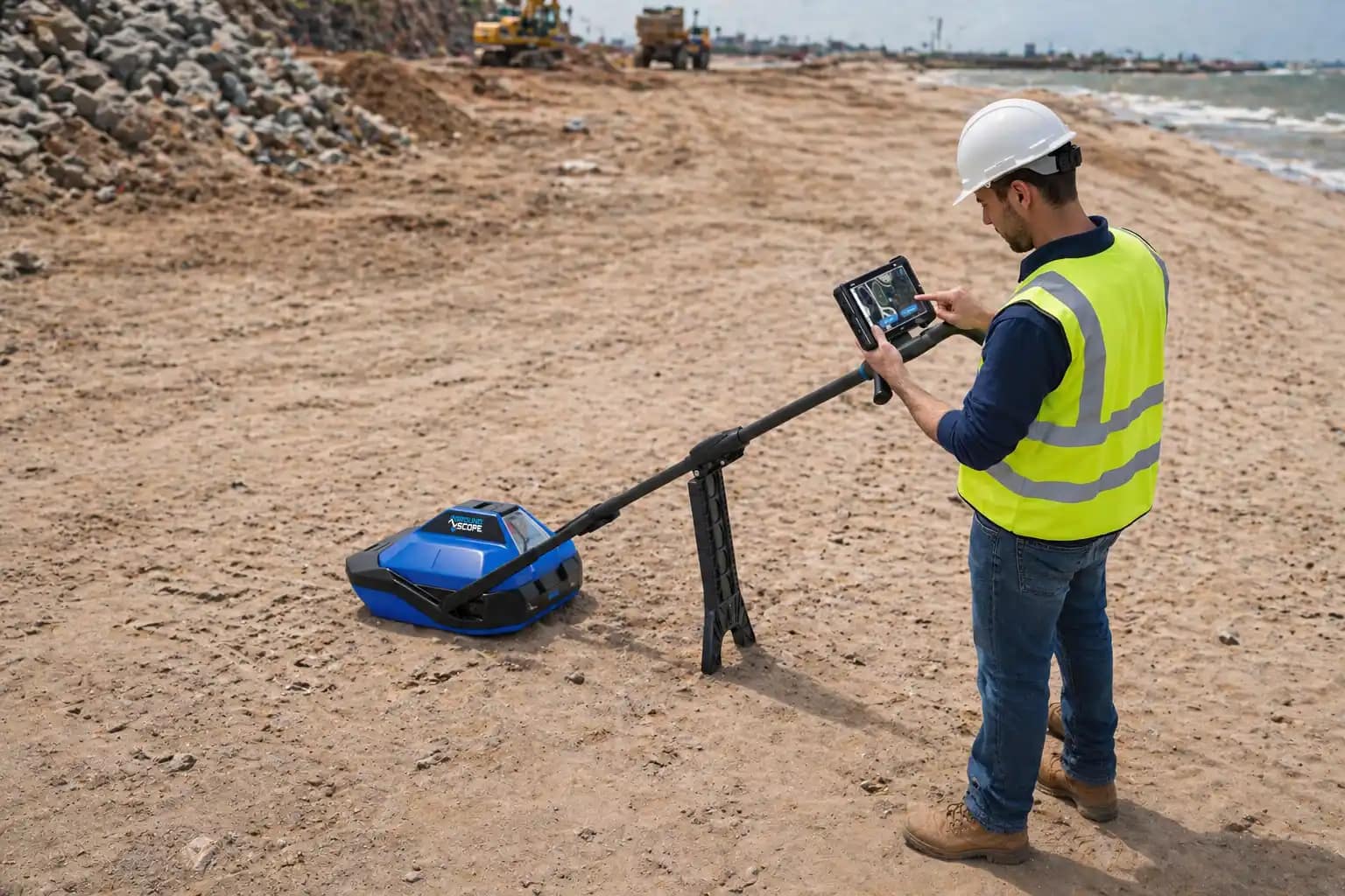
Stable and Ready Between Scans
Integrated kickstand keeps the unit secure when not in motion.
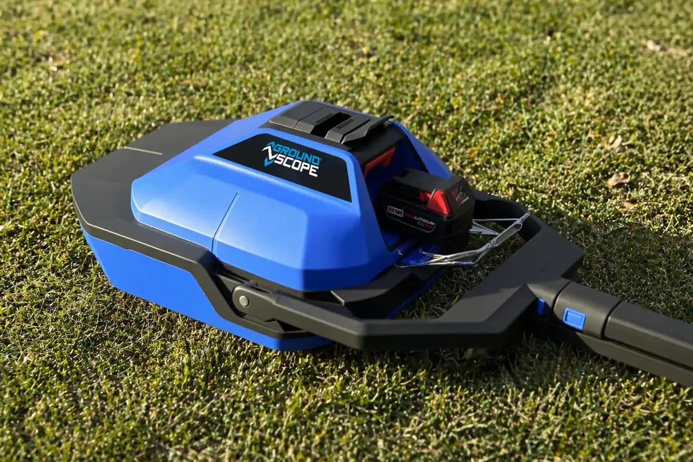
Universal Power System
Runs on Milwaukee M18 batteries already used by your crews. No new charging systems required.
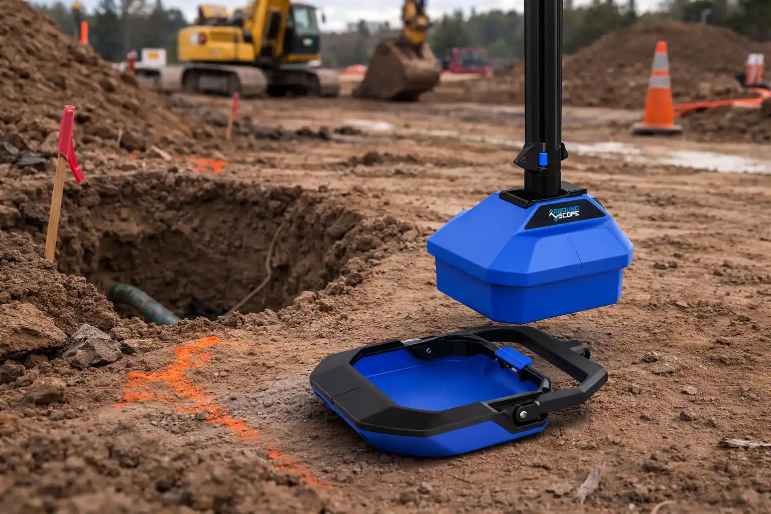
Flexible Operation in the Field
Detachable sled supports trench scanning and tighter excavation areas.
Technical Specifications
Built for Real Jobsites
These specifications outline how GroundScope performs in the field, including power, scanning performance, and system capabilities.
Weight
- Weight: <21 lbs
- Environmental: IP65-rated battery compartment
Power System
-
Battery Platform: Milwaukee M18
-
Battery System: Interchangeable with standard M18 tools
-
Hot-Swap Capability: Yes
Battery
-
Scan speed: ~1 ft per second
-
Typical scan length: 10 ft in under 30 seconds
-
Processing time: ~2 seconds per foot scanned
Data & Connectivity
-
Cloud Sync: Utility Risk Cloud
-
Location Tracking: GPS-enabled
Utility Risk Cloud
Where Field Scans Become Job Intelligence
GroundScope gives you answers in the field. The Utility Risk Cloud makes sure that work is captured, organized, and easy to use.
Every scan is automatically tied to a job, location, and operator, creating a verifiable record of work.
Instead of isolated scans, your team builds a structured history of underground conditions across every project.
Frequently Asked Questions
Everything You Need to Know
What does GroundScope do?
GroundScope is a subsurface verification tool that helps crews confirm underground conditions before digging starts and creates documentation that can be reviewed and shared across teams.
Does GroundScope replace 811?
No. GroundScope does not replace 811 or professional locating. It adds a verification step to strengthen your existing process.
Does it replace Subsurface Utility Engineering (SUE)?
No. SUE provides detailed engineering surveys. GroundScope helps verify underground conditions right before digging starts.
Do I need a specialist to operate it?
No. GroundScope was designed for ease of use and most operators can learn the workflow in about ten minutes.
How is GroundScope different from traditional GPR?
GroundScope is designed for fast verification directly at the point of dig. It focuses on ease of use and immediate feedback so crews can confirm underground conditions quickly without requiring a certified technician to interpret the scans.
Can we use the hardware without the subscription?
The short answer is no. The Basic plan is required to access our AI and use GPS location.
See It On Your Jobsite
Experience real-time underground intelligence in real-world conditions. Schedule a demo and see how GroundScope helps reduce risk, rework, and costly surprises.